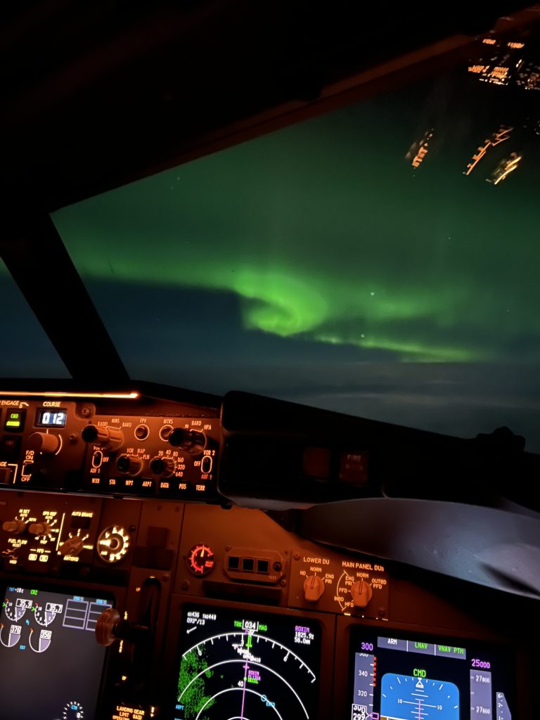
General Navigation has been a really interesting and enjoyable subject for me. It’s all about how we navigate round the globe and can get to places the shortest route, and therefore the quickest, while using our CRP-5 to calculate any corrections we need to make along route if we need to.
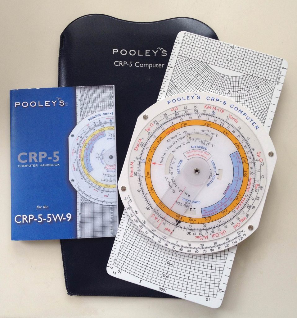
The CRP-5 is our new best friend, and we were told to get to know them very well as we’ll need them, not only for ground school, but also when it comes to our foundation flying. Speaking to a pilot who currently works for EasyJet however, the only time he’s used his CRP-5 in the cockpit of the A319/20/21 is to get rid of flies! Although it doesn’t look like much, the CRP-5 is amazing in what it can do, its a scientific calculator on one side and a wind-side on the there to calculate our true airspeed through the air, the amount of drift we’re experiencing so we can correct our heading to fly our true course and arrive at our destination.
General Navigation is such a large topic that its broken down into 3 sub-parts; General Navigational Principles, CRP-5 and Charts/In-flight Navigation. General Navigational Principles is all about the basics so working out where a great circle (the shortest route from one point to another) crosses the equator and is at its highest and lowest points, as well as adding and subtracting longitudes (lines up and down on a map) and latitudes (lines left and right on a map) to work out the distance we would’ve flown by using a formula called ‘departure’.
The next part as previously mentioned is the CRP-5 and all that goes with that. As I’ve said, it’s a really clever piece of technology that allows us to be really accurate with our calculations. Initially when we first got our hands on the CRP-5 I did struggle to understand the ‘wind side’ but after a couple of Zoom’s with both Kyle and Josh as well as a tutor based in Southampton it all clicked into place, which I think was a crucial part when it came to passing my exam.
Finally was Charts and In-flight Navigation, where it’s known as being the hard side of General Navigation, and being on Zoom didn’t help things. We studied different types of charts, such as the Mercator (what you’re used to seeing), a Lambert’s Conical Conformal (used for mapping out latitudes North of 30º) and finally Polar Stereographic (used as the name suggests in Polar regions). But as they’re all slightly different, we can’t use the same method on all of them so was a bit confusing to work out what chart we’re using, and therefore what method to use. In this section we also need to know how to tell time. Which on the face of it, should be a piece of cake considering we’ve been doing it since we were in primary school. However, our time questions involve two places and including a travel time and we need to work out when we land at both the departure destination and arrival destination. Still not the hardest thing to do, but one small mistake in one of the earlier stages and you can guarantee that the wrong answer you’ve got is waiting for you in the answers.
The breakdown of topics we learnt in General Navigation is as follows:
- Chapter 1 – Introduction,
- Chapter 2 – The Solar System,
- Chapter 3 – The Shape of the Earth,
- Chapter 4 – Latitude and Longitude,
- Chapter 5 – Departure,
- Chapter 6 – Great Circles and Rhumb Lines,
- Chapter 7 – Convergency and Conversion Angle,
- Chapter 8 – Scale,
- Chapter 9 – Magnetic Direction,
- Chapter 10 – Compass Direction,
- Chapter 11 – Distance Conversions,
- Chapter 12 – Using a Navigation Computer,
- Chapter 13 – CRP-5 Speed Calculations,
- Chapter 14 – CRP-5 Speed, Distance and Time,
- Chapter 15 – CRP-5 Wind Calculations,
- Chapter 16 – CRP-5 Triangle of Velocities,
- Chapter 17 – Heading, Groundspeed and Wind Velocities,
- Chapter 18 – CRP-5 Multi-Drift Calculations,
- Chapter 19 – Introduction to Charts,
- Chapter 20 – Mercator Projections,
- Chapter 21 – Lambert’s Conformal Projection,
- Chapter 22 – Polar Stereographic Projection,
- Chapter 23 – Grid Navigation,
- Chapter 24 – Introduction to Plotting,
- Chapter 25 – Radio Plotting Techniques,
- Chapter 26 – Vertical Navigation,
- Chapter 27 – Fuel Calculations,
- Chapter 28 – Visual Navigation,
- Chapter 29 – The Flight Log,
- Chapter 30 – In-flight Actions,
- Chapter 31 – Time,
- Chapter 32 – Air Almanac Extracts.
A whopping total of 1015 pages to learn and 61 hours in lesson to learn it all, and I’m delighted to announce, that I achieved a final EASA grade of 83% in General Navigation!